COMPARISON ASTER, SRTM AND GOOGLE DEM WITH GROUND DATA IN A SMALL-SCALE AGRICULTURAL LAND
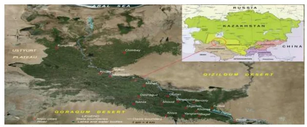
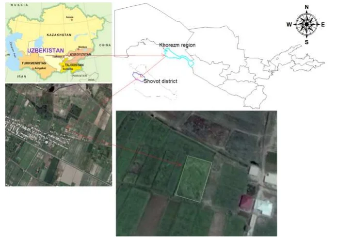
The aim of this study is to compare open-source DEM data with ground data in order to assess the accuracy and identify their possibility of usage for agricultural activities. The accuracy assessment was checked through ground data taken from 2100 m sq. agricultural field that is being used for...
3 October 2020, 14:04